
Connecticut is in for a stretch of frigid temperatures and dangerous wind chills over the next few days.
Temperatures were expected to fall throughout the day Thursday and strong winds expected Thursday night and into Friday morning.
The wind gusts could reach 60 mph, which would push wind chills into the 10 to 20 below range.
Actual air temperatures Friday morning will be in the single digits above and below zero and Friday's high will only be near 20 degrees.
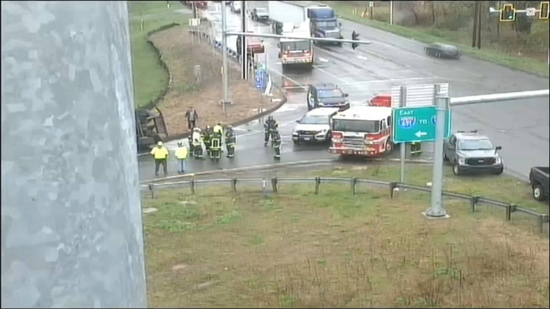
A snow squall caused whiteout conditions on Thursday morning and dropped enough snow to cause some slick roads, which prompted several crashes.
"It was clear as day, then a flash snowstorm. Now it's all slick," Rob Bryant, of Newington, said. "Got to be careful on the way to work now."
State police said there were several spin-outs crashes between Hartford and Manchester. One that caused delays was on Interstate 84 East where a tractor-trailer crashed near exit 59.
There were also several crashes on Route 9.
[[160431685,C]]
If it is snowing where you are, share your photos and video and send them to shareit@nbcconnecticut.com.
Local
A winter storm moves in Saturday, and it will begin as accumulating snow in the predawn hours. 1 to 2 inches of snow are expected in southeastern Connecticut, 2 to 4 inches in central Connecticut, and 4 to 6 inches in northwest Connecticut.
