


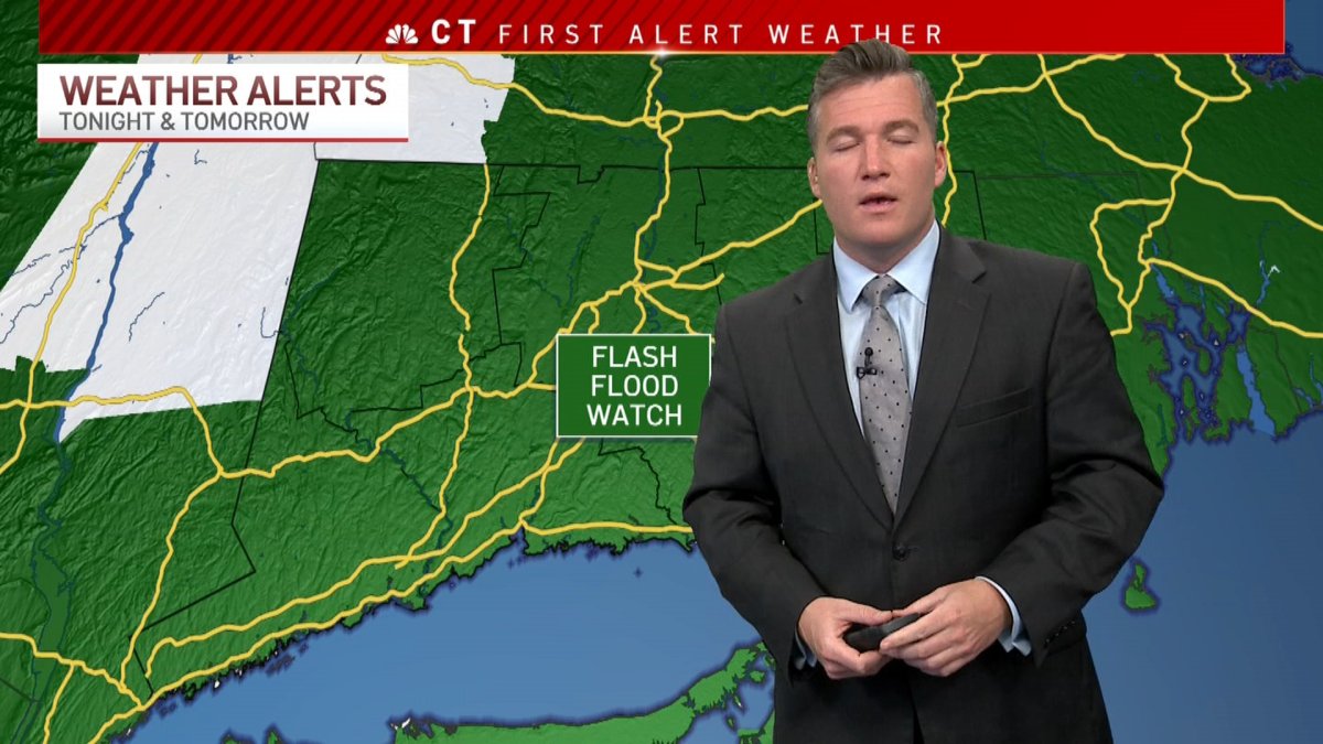
NBC Connecticut First Alert meteorologists continue to track a strong Nor'easter that will bring heavy rain and strong winds to the state Tuesday into Wednesday.
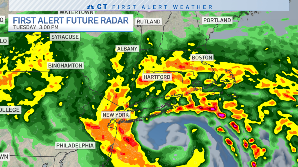
The strong coastal system will likely slow to a crawl or even stall over Long Island. This will result in a period of moderate to, at times, heavy rain tonight and through much of Tuesday.

Get Connecticut local news, weather forecasts and entertainment stories to your inbox. Sign up for NBC Connecticut newsletters.
As the system moves north, it will also intensify, resulting in strong gusty winds. Some computer models indicate coastal areas could see wind gust to or exceeding 50 mph.
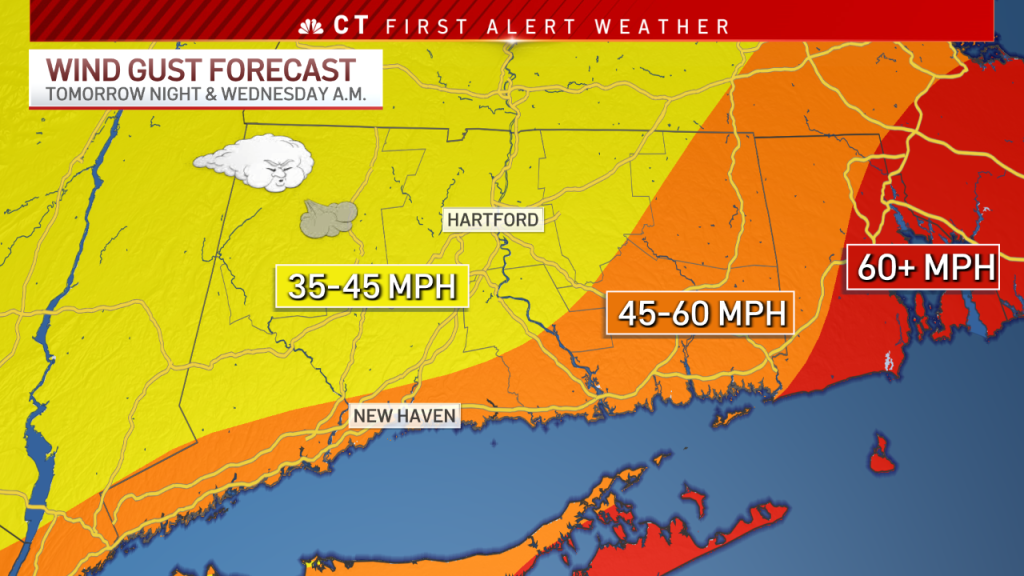
Since lots of leaves are still on trees, this could result in some damage and power issues.
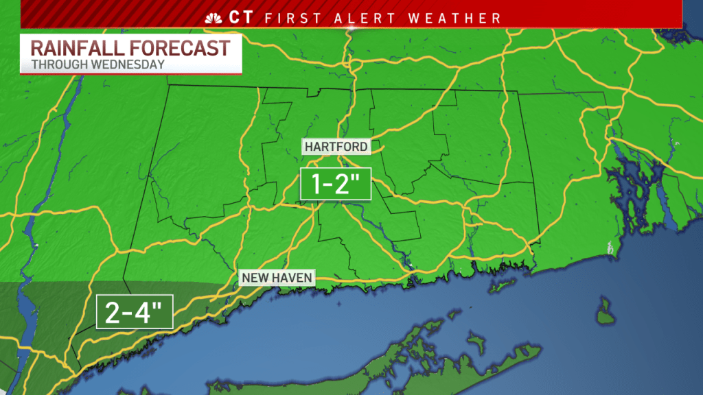
In addition, we could be looking at heavy rain with flooding rains possible in parts of the state. The heaviest rain will likely fall in Fairfield county where 2 to 4 inches of rain is expected.
The weather looks better by tomorrow night into Wednesday.

Rainfall totals from today through Wednesday morning could range from three to six inches. This could result in areas of flash flooding throughout the state.
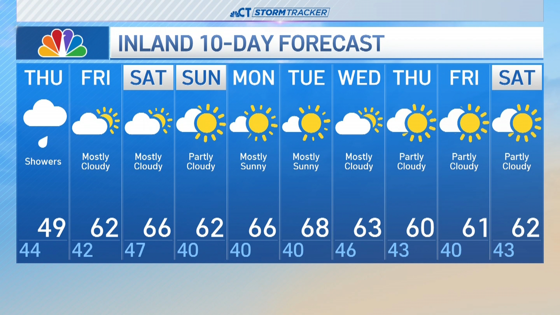
Thursday is sunny with highs in the 50s.

