
The ongoing heatwave was accompanied by thunderstorms Tuesday evening that left damage behind in some areas, and more storms and showers are possible overnight and Wednesday morning.
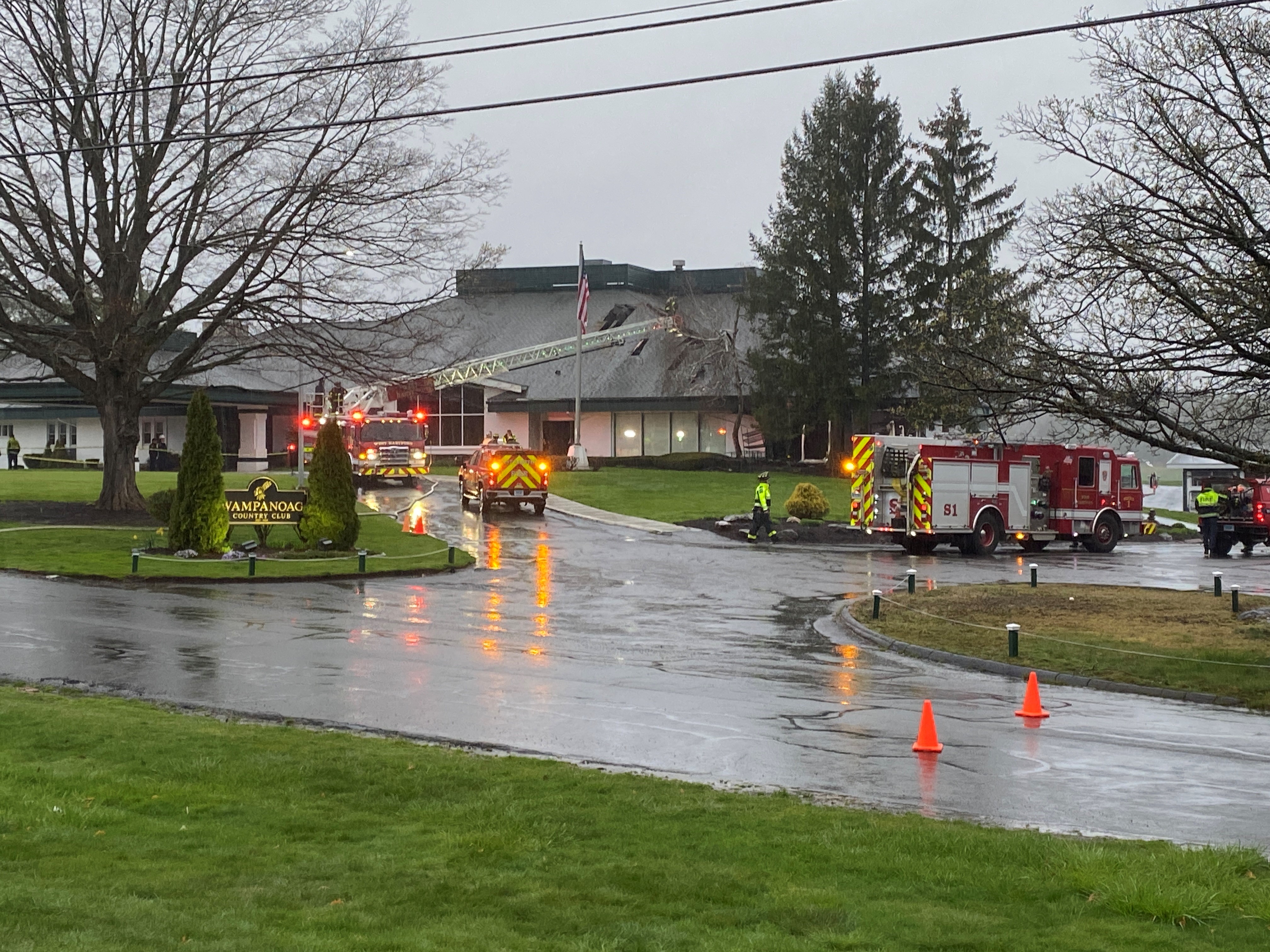
The storms caused damage in some areas of Manchester, where trees and wires came down.
NBC Connecticut Chief Meteorologist Ryan Hanrahan said it appears a weak microburst moved through the area, with wind gusts estimated between 40 to 50 mph.
The storms brought also heavy rain to parts of the state. East Hartford saw 2.44 inches of rain over the course of just 52 minutes.
Flash flood warnings were issued for parts of Hartford, Tolland and Windham counties Tuesday evening, but expired at 7:30 p.m.
Local

More storms are possible overnight, but not expected to be severe.
A First Alert also remains in effect for high heat and humidity. Wednesday will be hot and humid, partly sunny with scattered thunderstorms. Highs are expected in the low 90s inland and the mid-80s along the shoreline.
Check conditions in your area with the interactive radar or click here for your full First Alert Weather forecast.
