


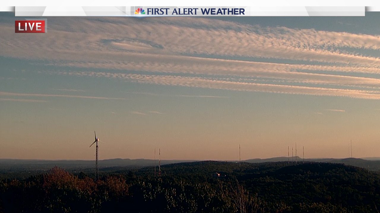
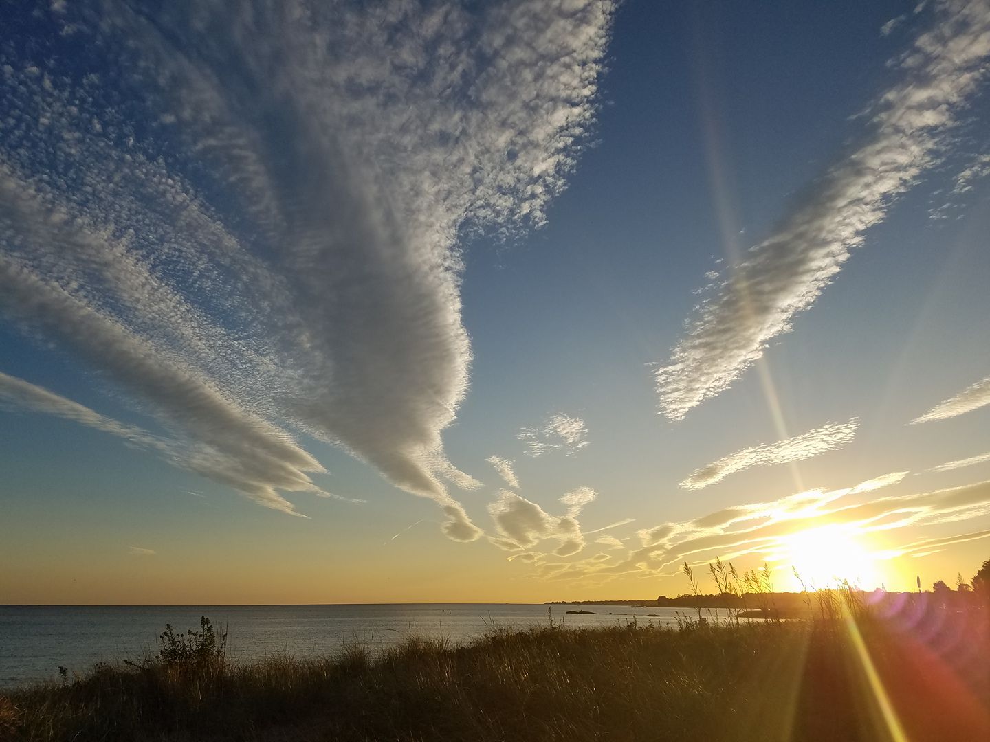
If you didn't look up this afternoon or this evening you missed out on an atmospheric treat. A gorgeous batch of cirrocumulus clouds spread across the sky resulting in an epic sunset across the state. But that wasn't all!

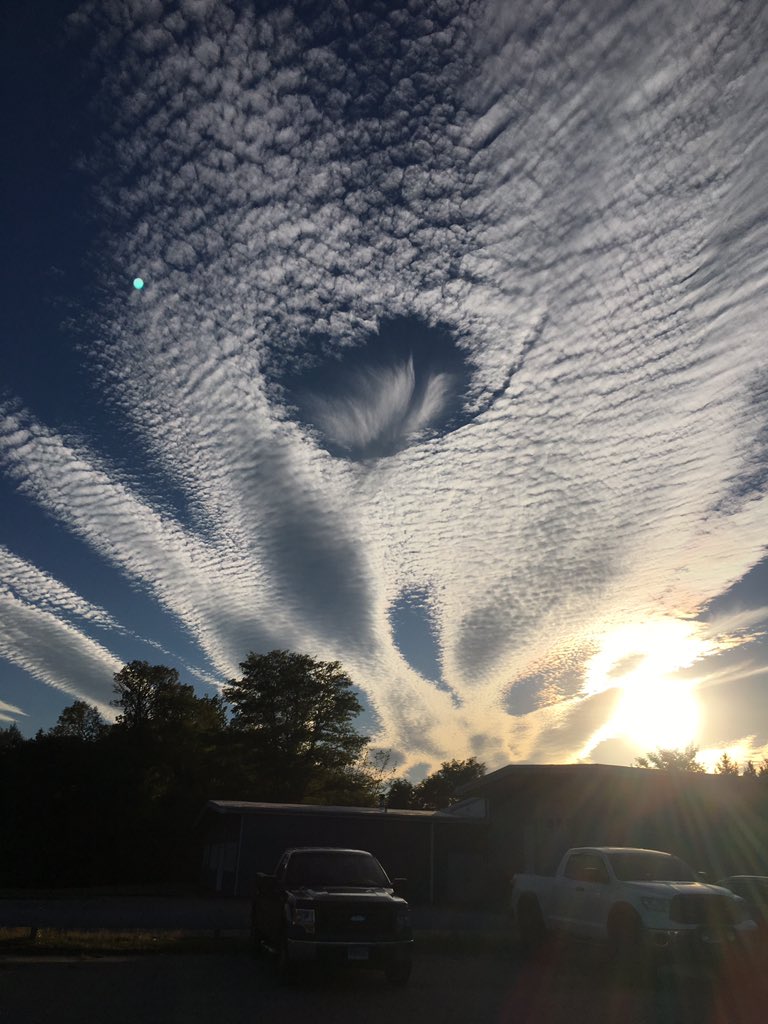
Cirrocumulus clouds are made up of both ice crystals and supercooled water droplets. These clouds were likely more than 25,000 feet above our heads! In this case a "hole punch" or "fallstreak hole" developed over some towns this afternoon. Nora Dudchik took this incredible picture at the parking lot of Hilltop Barbeque in Moodus.

A fallstreak hole forms as ice crystals begin to grow rapidly through deposition (see the streaks) and the supercooled water surrounding the ice crystals begins to evaporate. Essentially, the ice crystal grows at the expense of liquid water. This change in phase exists because the atmosphere is subsaturated with respect to liquid but supersaturated with respect to ice. A hole in the cirrocumulus cloud with streaks of ice crystals (snow) falling out of it is the result. A fallstreak or hole punch cloud!
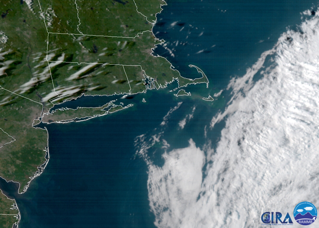
The cool clouds had a neat look from above on our new GOES-16 satellite but an even neater look from below.


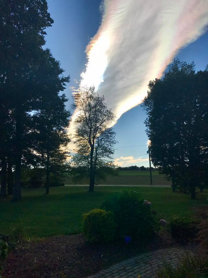
If the cirrocumulus wasn't beautiful enough we also had some irridescence that occured as sunlight passed tiny ice crystals or water droplets in the clouds. The ice crystals or droplets diffract the sunlight resulting in what appears to be a rainbow in the cloud. Cool stuff, right?

Even when the weather is a bit boring (for us meteorologists!) there is almost always something to marvel at :)

