
What to Know
- What: Snow, sleet, freezing rain, and rain
- When and Where: Thursday afternoon through the night across all of Connecticut
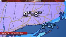
- Impact: Accumulating snow of up to 8 inches in some areas and a glaze of ice
Snow is falling across much of Connecticut and road conditions are starting to deteriorate, with multiple crashes reported across the state.
The NBC Connecticut meteorologists have issued a First Alert for snow, sleet, and rain moving through Thursday evening and into Friday morning.
Interstate 84 westbound is closed between exits 39 and 38 in Farmington because of a truck accident.
Snowy conditions forced a closure of the Merritt Parkway northbound in Stamford. The Department of Transportation responded with sand and plows to clear the area.
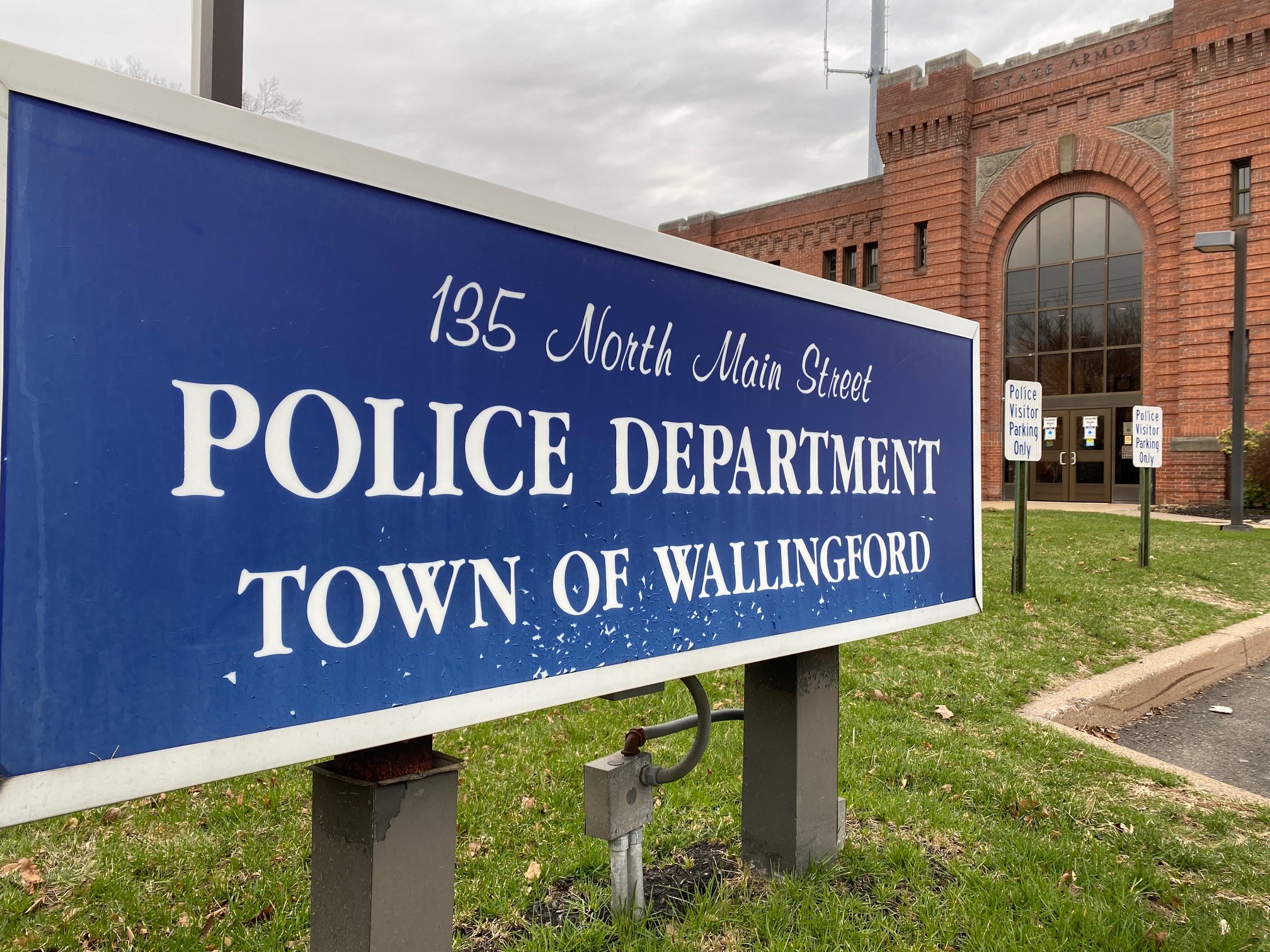
NBC Connecticut crews reported multiple crashes as they drove down Route 34 in New Haven. Wallingford police have responded to at least seven accidents since the snow began this afternoon, and report that roads are getting very slick in some areas.
The CT DOT has 634 plow trucks to manage 11,000 lane miles of state roads.
Local

Bradley International Airport reported a small number of cancellations and delays due to the storm. Customers should check with their airline to confirm their flight status.
Many schools announced early dismissals Thursday to avoid the worst of the weather.
UConn canceled classes after 3:30 p.m. Thursday at all campuses except UConn Health and non-essential employees were dismissed. The school will post UConn Health's status online here. Quinnipiac University also closed early, at 4 p.m.
A winter storm warning is in effect for all of Connecticut, with the exception of the immediate shoreline, through Friday morning.
Snow began falling in Fairfield County around 3 p.m., making for a snowy and slippery evening commute.
A transition to sleet, freezing rain and plain rain will occur throughout the storm. The mixture will start first along the Interstate 95 corridor. The hills will hold onto the snow the longest and that's where we're expecting the highest snowfall totals.
Most of the state can expect snowfall accumulations of 4 to 8 inches Extreme southeastern CT will transition over to sleet, freezing rain and rain quite quick, which will slightly reduce snowfall accumulations to between 2 to 4 inches.
Snow may come down at a heavy clip with rates of 1 to 2 inches per hour this evening.
Drivers should use caution during the Friday morning commute because there might still be icy spots across inland areas.
See whether there are school delays on Friday.
We’re tracking the system and will provide updates as we get them.
For your current forecast anytime, click here.
