
A flash flood warning is in effect for parts of New Haven and Fairfield counties after storms rolled through Thursday night.
Strong storms moved through Connecticut Thursday, in some cases taking out trees and causing flooding.
Hartford police warned of flooding on city streets and a tree down at Summit Street and Allen Place.

Winds gusted to 55 miles per hour at Bradley Airport around 4 p.m. on Thursday.
Strong wind gusts were reported across some communities in northern Connecticut and there were scattered reports of trees down and power outages, including in Thompson, Mansfield and Granby.
A strong thunderstorm moving through northern Connecticut triggered a severe thunderstorm warning for Litchfield County Thursday afternoon. That warning has expired. Other warnings in Hartford, Tolland, Windham and New London counties expired by 6 p.m.
The potential for strong storms continues through most of Thursday night. Damaging winds, vivid lightning, hail, and heavy rain are all possible in the storms.
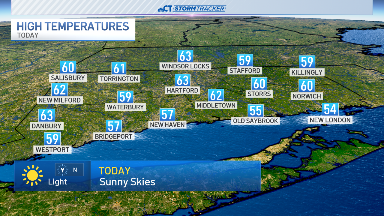
Thursday was the sixth day of a heatwave and fair and very warm weather is expected Friday through Monday. The temperature reached 91 degrees Thursday.
Police said storms caused downed trees and power outages in Orange.
Downed trees were reported near the Orange/Milford line, specifically on Turkey Hill Road, Grassy Hill Road and Arrowhead Drive. Power outages were also reported in these areas, police said.
You can get the forecast anytime by clicking here.
943 PM EDT Thu Jul 23 2020
The National Weather Service in Upton NY has issued a
* Severe Thunderstorm Warning for...
Central Fairfield County in southern Connecticut...
New Haven County in southern Connecticut...
* Until 1045 PM EDT.
* At 942 PM EDT, severe thunderstorms were located along a line
extending from near Seymour to near Milford, moving northeast at 30
mph.
HAZARD...60 mph wind gusts and quarter size hail.
SOURCE...Radar indicated.
IMPACT...Minor hail damage to vehicles is possible. Expect wind
damage to trees and power lines.
* Locations impacted include...
Bridgeport, New Haven, Danbury, Meriden, Milford, Wallingford,
Shelton, Naugatuck, Guilford, Southbury, Durham, Newtown,
Fairfield, Hamden and Stratford.
PRECAUTIONARY/PREPAREDNESS ACTIONS...
For your protection move to an interior room on the lowest floor of a
building.
Large hail and damaging winds and continuous cloud to ground
lightning is occurring with these storms. Move indoors immediately.
Lightning is one of nature's leading killers. Remember, if you can
hear thunder, you are close enough to be struck by lightning.
Torrential rainfall is occurring with these storms, and may lead to
flash flooding. Do not drive your vehicle through flooded roadways.
&&
953 PM EDT Thu Jul 23 2020
The National Weather Service in Upton NY has issued a
* Flash Flood Warning for...
Central Fairfield County in southern Connecticut...
Southwestern New Haven County in southern Connecticut...
* Until 1245 AM EDT.
* At 952 PM EDT, Doppler radar indicated thunderstorms producing
heavy rain across the warned area. Radar has indicated between 1
and 2 inches of rain have fallen. Flash flooding is ongoing or
expected to begin shortly.
HAZARD...Flash flooding caused by thunderstorms.
SOURCE...Radar indicated.
IMPACT...Flooding of small creeks and streams, urban areas,
highways, streets and underpasses as well as other
drainage and low lying areas.
* Some locations that will experience flooding include...
Bridgeport, New Haven, Danbury, Milford, Shelton, Southbury,
Newtown, Fairfield, Hamden, Stratford, Trumbull, Ridgefield,
Monroe, Bethel and Wilton.
PRECAUTIONARY/PREPAREDNESS ACTIONS...
Turn around, don't drown when encountering flooded roads. Most flood
deaths occur in vehicles.
Be especially cautious at night when it is harder to recognize the
dangers of flooding.
A Flash Flood Warning means that flooding is imminent or occurring.
If you are in the warned area move to higher ground immediately.
Residents living along streams and creeks should take immediate
precautions to protect life and property.
